The map above is part of the LandScan USA system that has been used by Oak Ridge National Laboratory to help readiness, response, and recovery crews during Hurricane Harvey, which hit Texas on Friday, Aug. 25, 2017. This map shows population counts in the Houston area, with red areas having the highest counts and yellow areas lower counts and gray areas none. The map has a flooding overlay, where red shows more flooding and green shows less. (Photo by John Huotari/Oak Ridge Today)
Data collection systems at Oak Ridge National Laboratory are being used to help emergency responders and recovery crews with two deadly hurricanes, Harvey and Irma.
The data collection systems are LandScan USA and EAGLE-I. Information from the systems is being used by the Federal Emergency Management Agency and U.S. Department of Homeland Security, among other agencies. The two systems give information on electric customer outages and population counts, and they are being used in daily briefings, according to ORNL staff members.
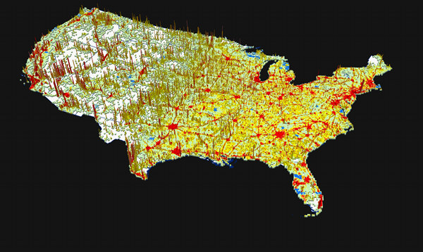
The first system, LandScan USA, shows population counts with a resolution of about 90 meters. The system can show color-coded maps with population counts ranging for high to low, and it includes daytime and nighttime populations.
Flood maps can be overlaid on the population count maps to help determine the best places for rescuers to respond, said Amy Rose, ORNL team lead in Population Distribution and Dynamics. Rose displayed that map and overlay during an interview in the EVEREST visualization laboratory at ORNL on Tuesday.
Houston, which experienced heavy flooding, didn’t evacuate before Hurricane Harvey, a category 4 storm that came ashore just northeast of Corpus Christi, Texas, on Friday night, August 25. [Read more…]