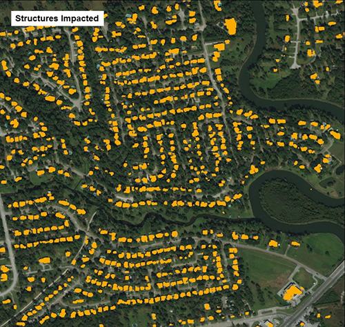
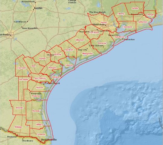
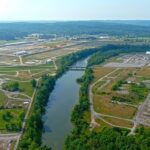
As hurricanes formed in the Gulf Coast, Oak Ridge National Laboratory activated a computing technique to quickly gather building structure data from Texas’ coastal counties. (Image credit: Mark Tuttle/Oak Ridge National Laboratory, U.S. Department of Energy)
Geospatial scientists at Oak Ridge National Laboratory have developed a new computing technique to quickly gather data about building structures to help emergency response teams assessing properties that were damaged by hurricanes Harvey and Irma in August and September.
By coupling deep learning with high-performance computing, ORNL collected and extracted building outlines and roadways from high-resolution satellite and aerial images, ORNL said. As hurricanes formed in the Gulf Coast and the Atlantic Ocean, ORNL activated its technique.
“During devastating weather events, it’s difficult and time consuming to assess damage manually,” said ORNL’s Mark Tuttle. “Our method supports emergency response efforts by providing preliminary building structure data—which can be categorized for residential, multi-family and commercial properties—on the county level, and this has been applied for hurricane-impacted areas of Texas, Florida, Puerto Rico, and other U.S. Caribbean territories.”
During Hurricane Harvey, ORNL analyzed nearly 2,000 images covering nearly 26,000 square miles of building structures in Texas’ coastal counties in just 24 hours, a process that would typically take up to nine months.
Besides Tuttle, researchers include Taylor Hauser, Melanie Laverdiere, Jacob McKee, Benjamin Swan, Matthew Whitehead, and Hsiuhan Yang.
Oak Ridge National Laboratory’s novel computing method supports emergency response efforts by providing preliminary building structure data on the county level. This technique has been applied for hurricane-impacted areas of Texas, Florida, Puerto Rico, and other U.S. Caribbean territories. (Image credit: Mark Tuttle/Oak Ridge National Laboratory, U.S. Department of Energy)

Leave a Reply